
Lot 14
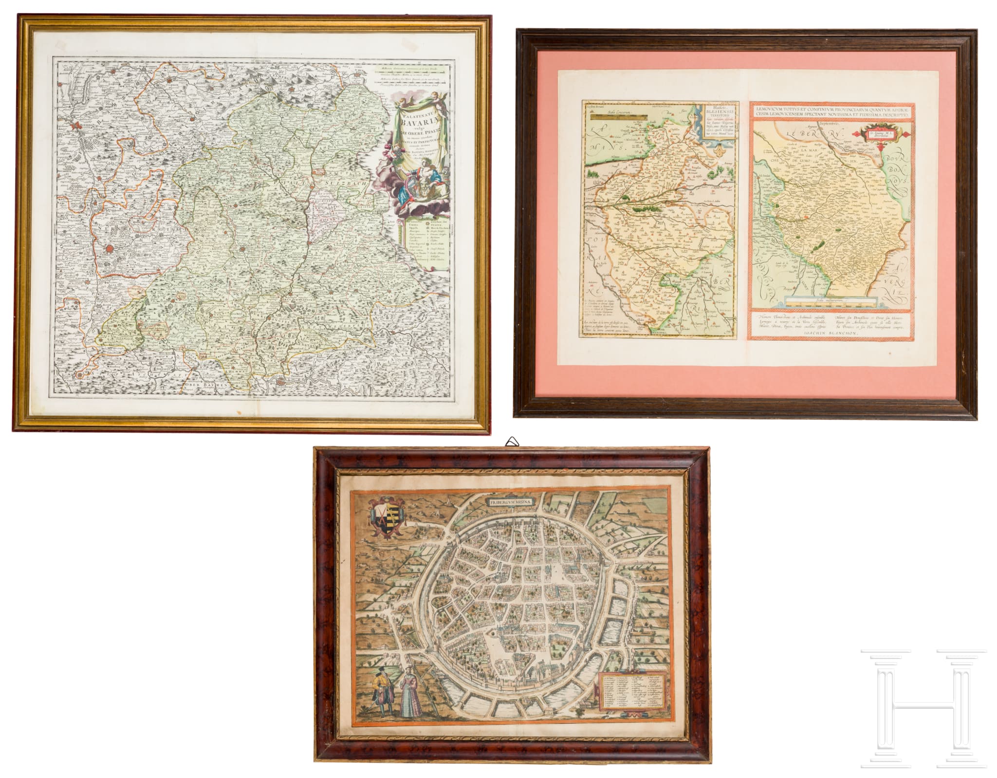
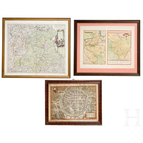
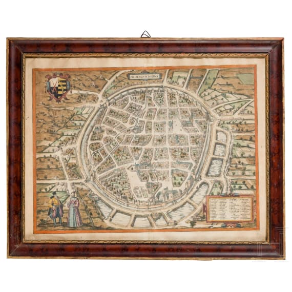
Three historical maps, 16th / early 18th century, engravings
Works of Art, Antiquities & Ancient Art | A108kua | Live auction | 1169 Lots
Hammer price € 220
Show related lotsDescription
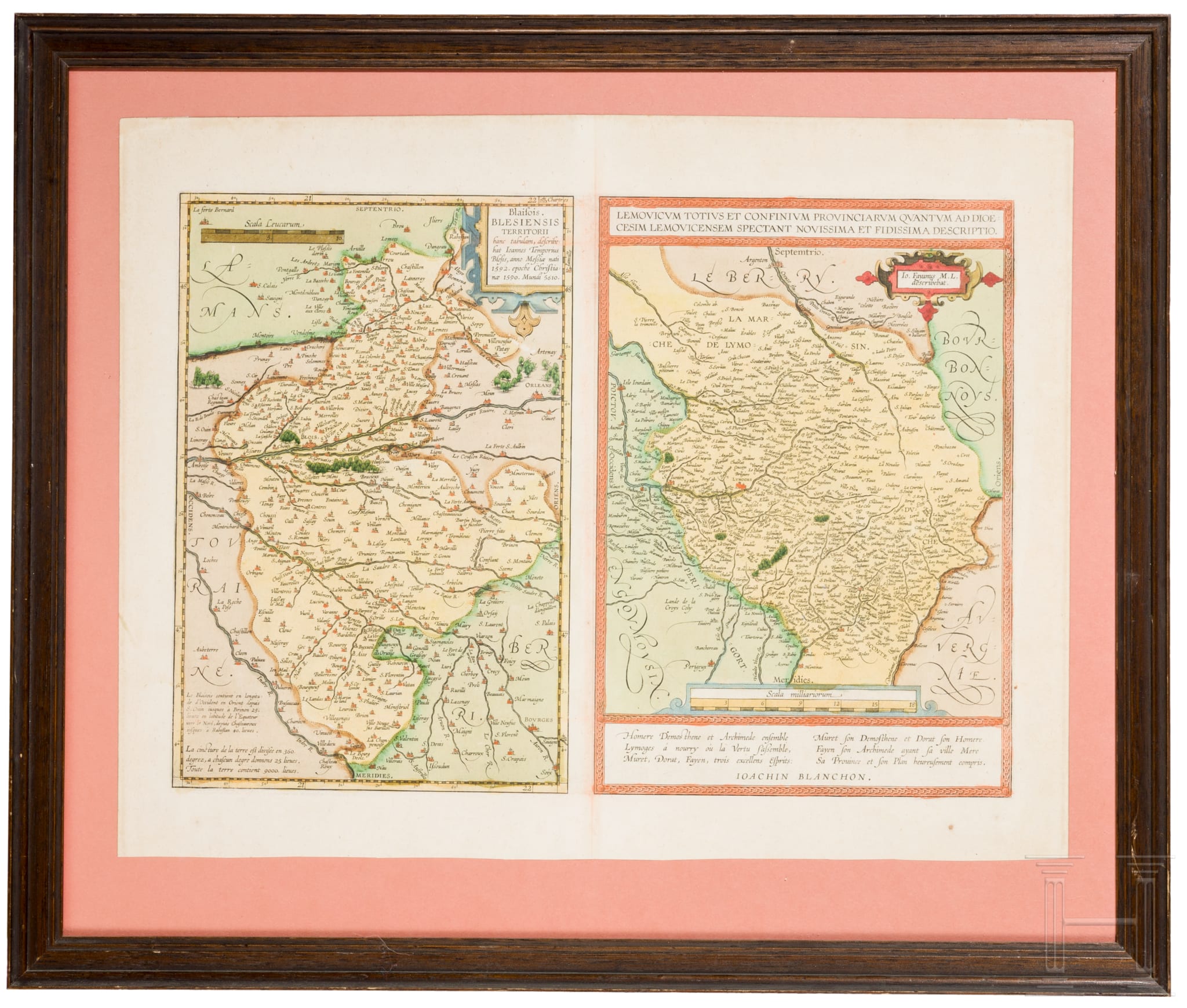
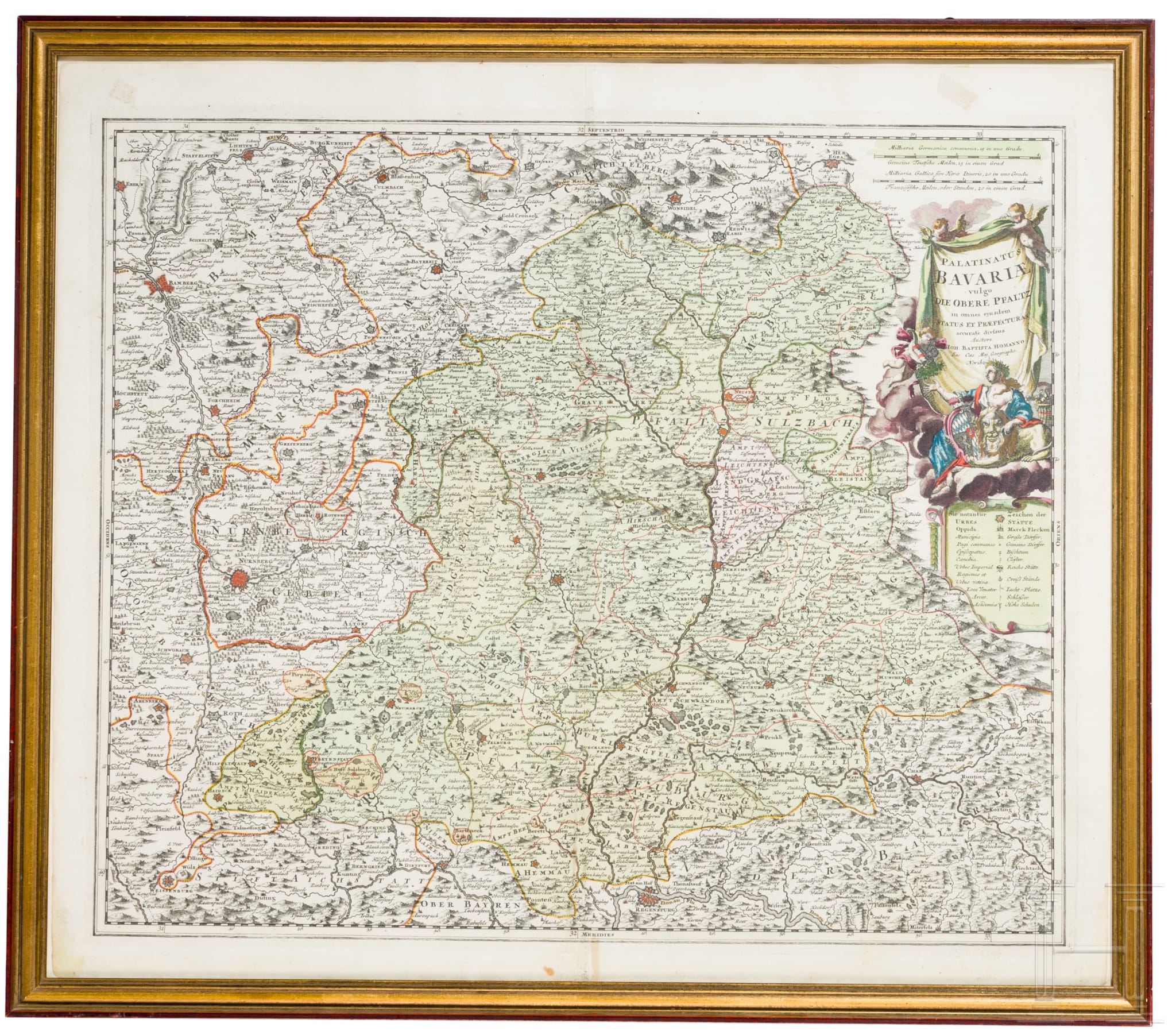
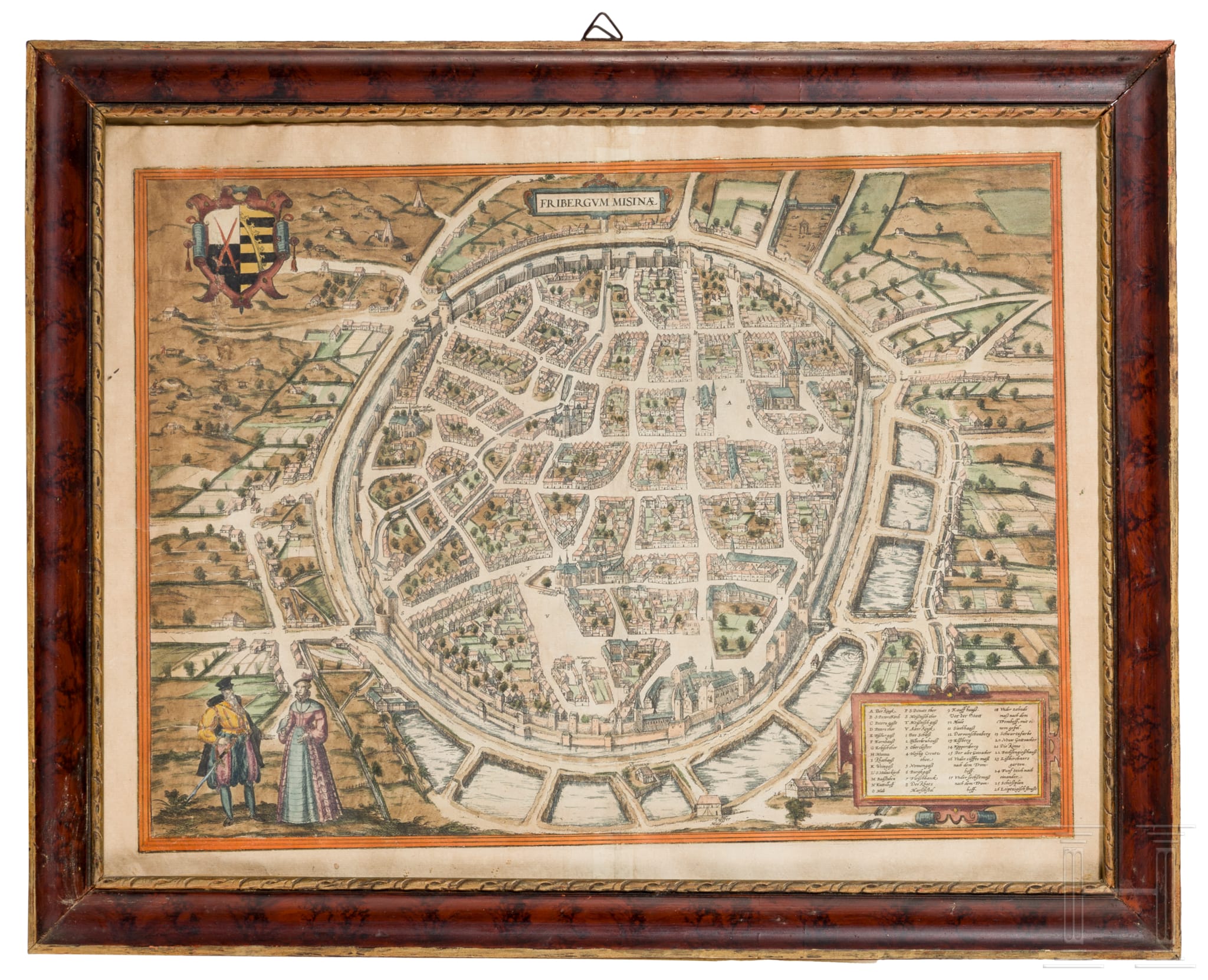
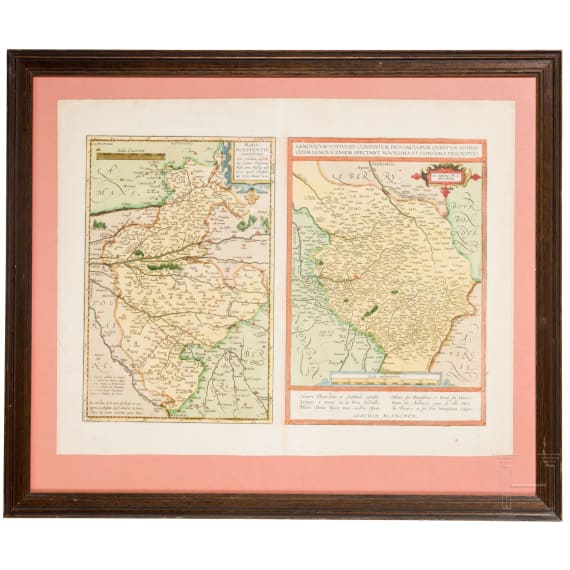
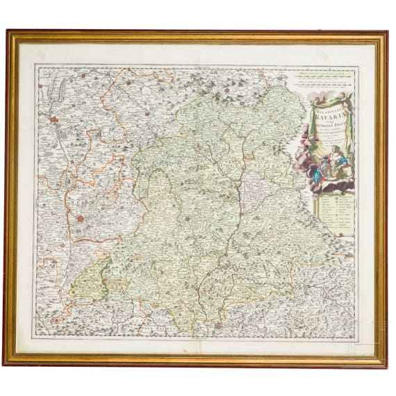
Konvolut von handkolorierten Kupferstichkarten auf Büttenpapier mit vertikaler Mittelfalz, jeweils unter Glas gerahmt. 1) „Fribergum Misina", wohl 16./17. Jhdt. Gesamtansicht der befestigten Stadt mit Titel- und Wappenkartusche. Papier gebräunt, Mittelfalz sichtbar, vereinzelt fleckig. Lichtmaß 36,5 × 48,5 cm, Rahmenmaße 44,3 × 55,7 cm. 2) „Blaisois. Blesiensis Territorii Descriptio", Ioannes Temporius, 1592 (dat.). Regionalkarte mit Gradnetz und Maßstab; Grenzkolorit. Papier leicht gebräunt, Mittelfalz, geringe Randspuren. Blattmaße ca. 41,2 × 53 cm, Rahmenmaße 54,5 × 64,6 cm. 3) „Palatinatus Bavariae vulgo. Die Obere Pfaltz", Johann Baptist Homann (1664–1724), wohl frühes 18. Jhdt. Karte mit figürlicher Titelkartusche und sichtbarem Plattenrand. Papier gebräunt, deutliche Mittelfalz, kleinere Braunflecken. Blattmaße ca. 53,5 × 61,5 cm, Rahmenmaße 58,5 × 66,7 cm.Condition: II Questions about the lot?